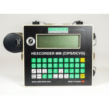
Hexcorder MM CIPS / DCVG Surveys
D ETAILS
Features
- Designed for close interval potential surveys (CIPS), direct current voltage gradient surveys (DCVG) or both combined
- Work with interruption cycles as fast as 1 second
- User alarms can be enabled to help ensure data integrity
- GPS location data stored with each reading
- Records chainage, date and time with each reading
- Active AC filter to remove the effect of induced AC
- Reads and stores waveforms
- Comments can be easily entered into the data stream
- Data stored in an ASCII comma delimited text file
-No special software required
– Easy to import and graph in any standard spreadsheet or database program
- Software upgradeable
- Choice of hip pack or back pack wire dispenser
- Comes complete with all cables, reference electrodes, etc to start surveying, including a spool of wire
- Optional sub-meter GPS precision available
- Optional on-site survey training is available
- Comprehensive 1 year warranty
-
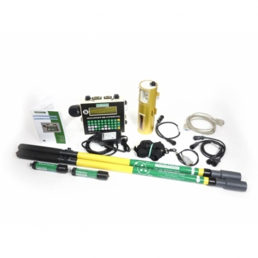
Included
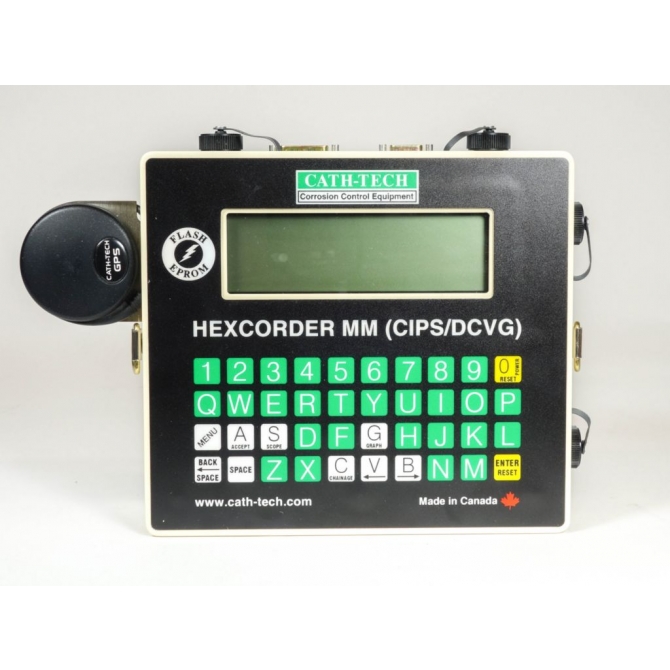
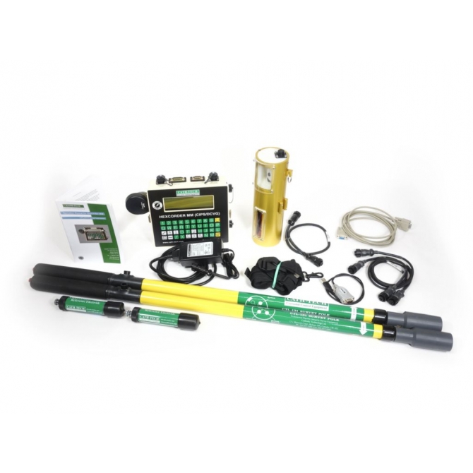
- Hexcorder MM
- Wire dispenser with one spool of survey wire
- Choice of: – Hip pack for short surveys, urban areas 2 km (1.25 mile) survey wire or Back pack – long, across country surveys ,16 km (10 mile) survey wire
- 2 x half cell extension poles
- 2 x Cu/CuSO4 half cells
- Carrying strap
- Half cell and wire dispenser cables
- Data logger cable
- GPS magnet mount antenna
- AC charger; 120/240 V AC, 50/60 Hz input
- RS-232 straight through cable
- USB to RS-232 converter
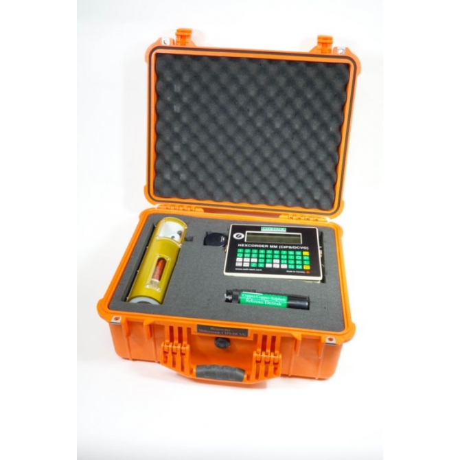
- Rugged carrying case
- Owners manual
Technical Specification
- Range: +/- 5 V DC
- A/D Converter: 14 bit
- Memory Capacity: 1 Mb, expandable to 2Mb
- Input Impedance: 10 M ohm or 250 M ohm
- AC Rejection: 100 dB active filter
- Case: Machined aluminum with powder coat
- Dimensions: 21cm x 19cm x 6cm (8” x 7.5” x 2.5”)
- Weight: 3.2 kg
- Battery: 7.2V 4.5 amp hour NiMH
- User Interface: 240 x 64 graphic LCD with 40 key QWERTY membrane keypad
- Communications: RS-232
- Carrying Case: Plastic, IP 67 rated 53cm x 45cm x 23cm (21” x 18” x 9”)
- Fully integrated 12 satellite WAAS / EGNOS GPS antenna – GPS co-ordinates, altitude, PDOP and number of satellites logged with every reading – Sub-metre GPS precision available upon request

